
Mobile applications

Interactive navigation for real places.

Maps, routes, searchable places, interactive selection and context for visitors moving through a venue.
09:41●●●
Zoo MapsYour visit
Places nearbyExplore ↗
⌖◇☰
Map concept

Beyond a single venue

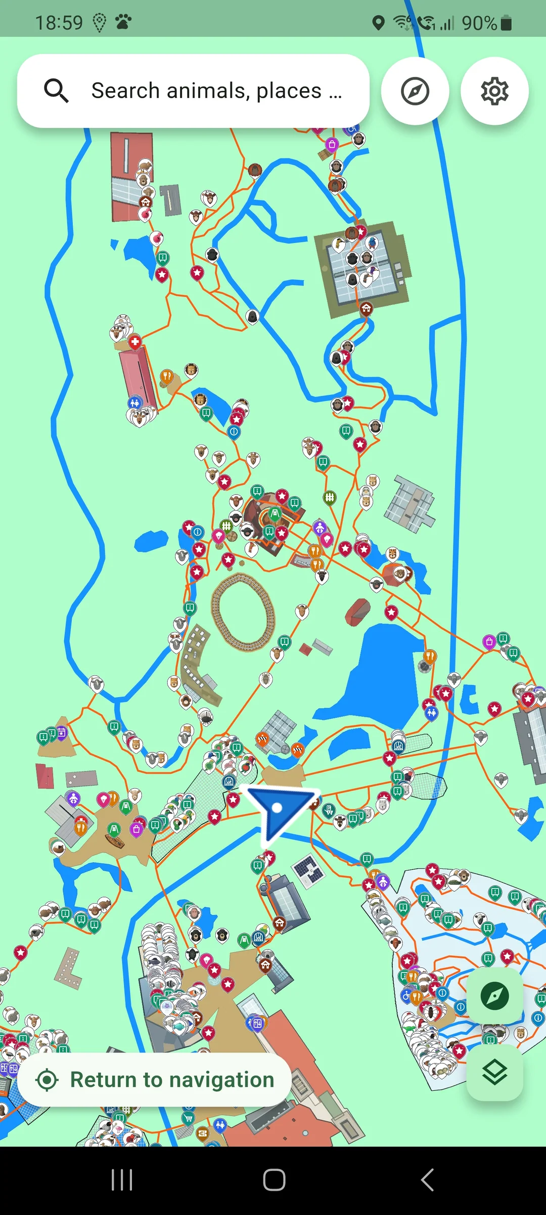
Our work on interactive navigation is intended for places people explore on foot: zoos, parks, cultural sites and other visitor spaces. Each application can combine a map, route guidance, searchable places, interactive selection and timely on-site information. Zoo Maps for Zoo Leipzig is the first pilot in development.
● In development

Zoo Maps · Leipzig pilot

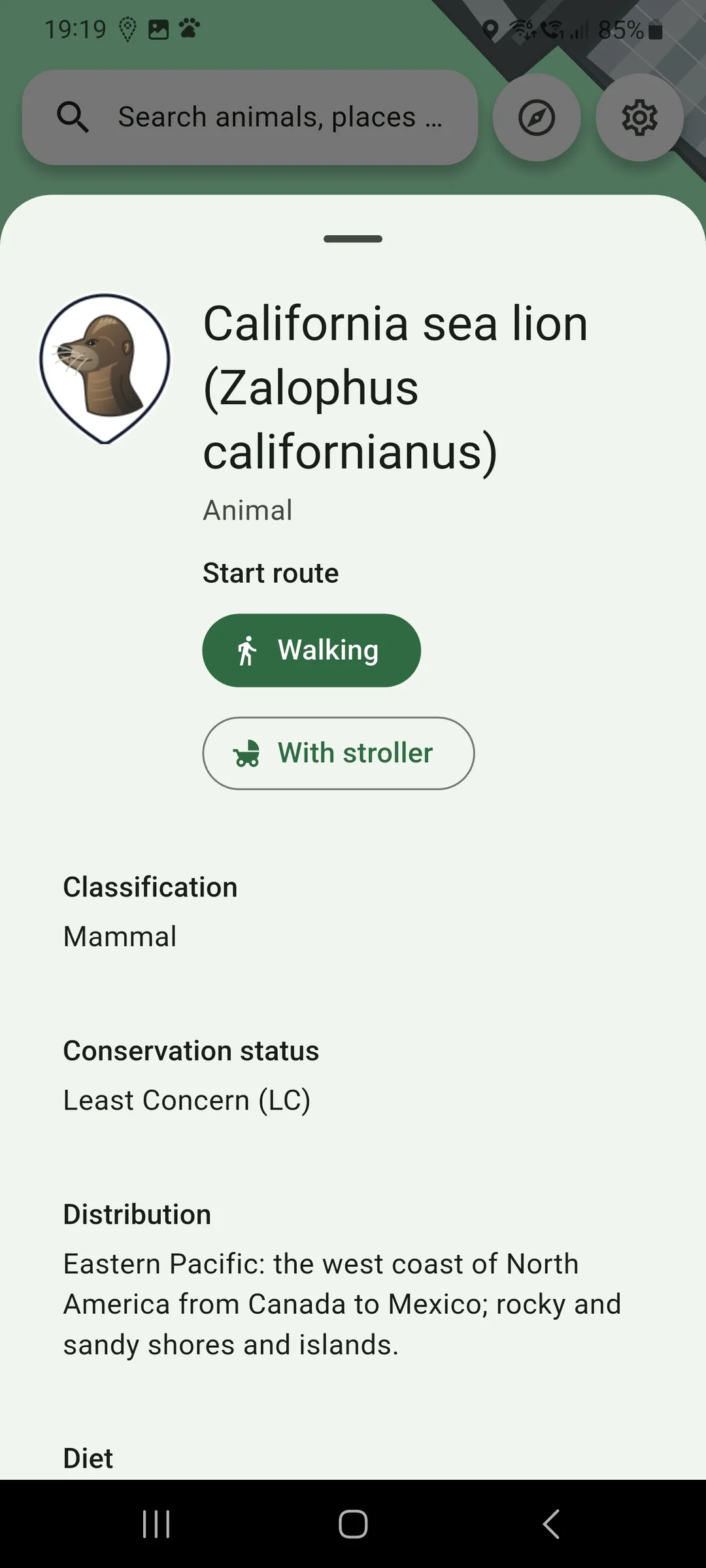
The Zoo Leipzig pilot brings together a map, selectable points of interest, routes, search, event schedules and information about places. It is a developing example of our wider approach to on-site navigation. Android is the first target; iOS is planned for a later stage.

Find your route

Use routes and on-site positioning to navigate towards the places you choose.

Search and choose places

Explore categories, search for places and interactively select points of interest on the map.

Plan your time on site

Browse activities and practical information, then locate the relevant places.

Further development includes multilingual content and a licensing system for individual apps. Availability and store links will be added only when the product is released.

This is an independent project. Mention of Zoo Leipzig identifies the place covered by the pilot; it does not imply endorsement or a formal partnership.

Let’s talk

What can we help you with?